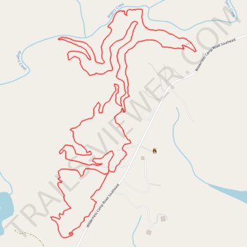
Toona Trace, Wagon Wheel and Etowah Echo Trails Loop Mountain Biking
- Distance: 4.6 mi
- Elevation gain: 515 ft
- Maximum elevation: 1,083 ft
- Elevation loss: 515 ft
- Minimum elevation: 909 ft
- Moving time: 44 m 38 s
- Moving speed: 6.1 mph
- Maximum speed: 17.7 mph
- Total time: 55 m 59 s
- Global speed: 4.9 mph
Interactive trail map
Trail profile
- Distance: 4.6 mi
- Elevation gain: 515 ft
- Maximum elevation: 1,083 ft
- Elevation loss: 515 ft
- Minimum elevation: 909 ft
- Moving time: 44 m 38 s
- Moving speed: 6.1 mph
- Maximum speed: 17.7 mph
- Total time: 55 m 59 s
- Global speed: 4.9 mph
About this trail
Name: Toona Trace, Wagon Wheel and Etowah Echo Trails Loop Mountain Biking trail, distance, elevation, map, profile, GPS track
Coordinates: 34.19041 -84.70587 34.20124 -84.69754
Topography: Bartow County topographic map, elevation, terrain