Great Southern West Walk - Monibeong to Swan Lake
- Distance: 10.4 mi
- Elevation gain: 217 ft
- Maximum elevation: 69 ft
- Elevation loss: 217 ft
- Minimum elevation: -3 ft
- Moving time: 4 h 17 m
- Moving speed: 2.4 mph
- Maximum speed: 5.3 mph
- Total time: 4 h 30 m
- Global speed: 2.3 mph
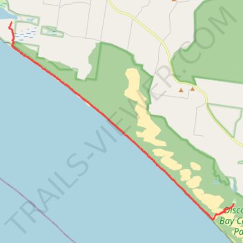
Interactive trail map
Trail profile
- Distance: 10.4 mi
- Elevation gain: 217 ft
- Maximum elevation: 69 ft
- Elevation loss: 217 ft
- Minimum elevation: -3 ft
- Moving time: 4 h 17 m
- Moving speed: 2.4 mph
- Maximum speed: 5.3 mph
- Total time: 4 h 30 m
- Global speed: 2.3 mph
About this trail
Name: Great Southern West Walk - Monibeong to Swan Lake trail, distance, elevation, map, profile, GPS track
End: Swan Lake Road, Mount Richmond, Shire of Glenelg, Victoria, 3305, Australia (-38.21630 141.31095)
Coordinates: -38.22336 141.18283 -38.13508 141.31096