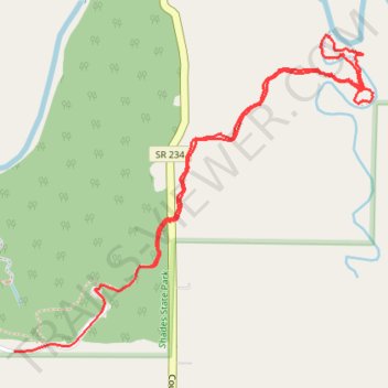
Pine Hills hike
- Distance: 2.9 mi
- Elevation gain: 220 ft
- Maximum elevation: 794 ft
- Elevation loss: 213 ft
- Minimum elevation: 640 ft
- Moving time: 1 h 1 m
- Moving speed: 2.8 mph
- Maximum speed: 31.1 mph
- Total time: 1 h 15 m
- Global speed: 2.3 mph
Interactive trail map
Trail profile
- Distance: 2.9 mi
- Elevation gain: 220 ft
- Maximum elevation: 794 ft
- Elevation loss: 213 ft
- Minimum elevation: 640 ft
- Moving time: 1 h 1 m
- Moving speed: 2.8 mph
- Maximum speed: 31.1 mph
- Total time: 1 h 15 m
- Global speed: 2.3 mph
About this trail
Name: Pine Hills hike trail, distance, elevation, map, profile, GPS track
Start: SR 234, Deer Mill, Montgomery County, Indiana, 47916, United States (39.93387 -87.05911)
End: Montgomery County, Indiana, United States (39.93080 -87.06545)
Coordinates: 39.93080 -87.06545 39.94208 -87.04876
Topography: Montgomery County topographic map, elevation, terrain