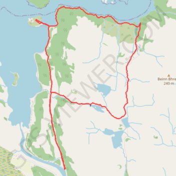
Castle Tioram
- Distance: 5.3 mi
- Elevation gain: 1,017 ft
- Maximum elevation: 505 ft
- Elevation loss: 1,017 ft
- Minimum elevation: 0 ft
- Moving time: 2 h 47 m
- Moving speed: 1.9 mph
- Maximum speed: 6.4 mph
- Total time: 3 h 7 m
- Global speed: 1.7 mph
Interactive trail map
Trail profile
- Distance: 5.3 mi
- Elevation gain: 1,017 ft
- Maximum elevation: 505 ft
- Elevation loss: 1,017 ft
- Minimum elevation: 0 ft
- Moving time: 2 h 47 m
- Moving speed: 1.9 mph
- Maximum speed: 6.4 mph
- Total time: 3 h 7 m
- Global speed: 1.7 mph
About this trail
Name: Castle Tioram trail, distance, elevation, map, profile, GPS track
Coordinates: 56.76522 -5.82808 56.78631 -5.80320