Cranbrook Hill Greenway Trail
#Hiking #MTB #Snowshoeing #Ski
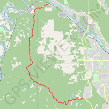
- Distance: 11.2 mi
- Elevation gain: 659 ft
- Maximum elevation: 2,756 ft
- Elevation loss: 1,234 ft
- Minimum elevation: 1,991 ft
Interactive trail map
Trail profile
- Distance: 11.2 mi
- Elevation gain: 659 ft
- Maximum elevation: 2,756 ft
- Elevation loss: 1,234 ft
- Minimum elevation: 1,991 ft
About this trail
Name: Cranbrook Hill Greenway Trail trail, distance, elevation, map, profile, GPS track
Coordinates: 53.88094 -122.90747 53.97055 -122.82121