Cooper Harper Road
- Distance: 3.4 mi
- Elevation gain: 1,207 ft
- Maximum elevation: 2,320 ft
- Elevation loss: 751 ft
- Minimum elevation: 1,289 ft
- Moving time: 9 m 54 s
- Moving speed: 20.8 mph
- Maximum speed: 34.0 mph
- Total time: 9 m 54 s
- Global speed: 20.8 mph
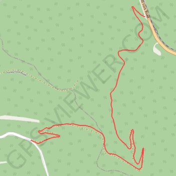
Interactive trail map
Trail profile
- Distance: 3.4 mi
- Elevation gain: 1,207 ft
- Maximum elevation: 2,320 ft
- Elevation loss: 751 ft
- Minimum elevation: 1,289 ft
- Moving time: 9 m 54 s
- Moving speed: 20.8 mph
- Maximum speed: 34.0 mph
- Total time: 9 m 54 s
- Global speed: 20.8 mph
About this trail
Name: Cooper Harper Road trail, distance, elevation, map, profile, GPS track
Start: Cooper Harper Rd, Boone County, West Virginia, United States (37.81898 -81.62603)
End: Cooper Harper Rd, Logan County, West Virginia, United States (37.80609 -81.64111)
Coordinates: 37.80307 -81.64111 37.82003 -81.62603
Topography: Boone County topographic map, elevation, terrain