Herman Gulch Lake
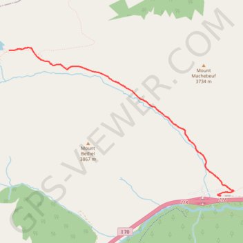
Interactive trail map
Trail profile
- Distance: 6.3 mi
- Elevation gain: 1,709 ft
- Maximum elevation: 12,018 ft
- Elevation loss: 1,709 ft
- Minimum elevation: 10,308 ft
About this trail
Name: Herman Gulch Lake trail, distance, elevation, map, profile, GPS track
Start: Watrous Way, Clear Creek County, Colorado, United States (39.70243 -105.85371)
End: Watrous Way, Clear Creek County, Colorado, United States (39.70243 -105.85371)
Coordinates: 39.70241 -105.89331 39.72374 -105.85119
Topography: Clear Creek County topographic map, elevation, terrain