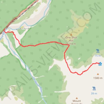
To Pfeifer Bivouac
- Distance: 5.2 mi
- Elevation gain: 4,111 ft
- Maximum elevation: 4,839 ft
- Elevation loss: 837 ft
- Minimum elevation: 978 ft
- Moving time: 4 h 13 m
- Moving speed: 1.2 mph
- Maximum speed: 3.2 mph
- Total time: 6 h 26 m
- Global speed: 0.8 mph
Interactive trail map
Trail profile
- Distance: 5.2 mi
- Elevation gain: 4,111 ft
- Maximum elevation: 4,839 ft
- Elevation loss: 837 ft
- Minimum elevation: 978 ft
- Moving time: 4 h 13 m
- Moving speed: 1.2 mph
- Maximum speed: 3.2 mph
- Total time: 6 h 26 m
- Global speed: 0.8 mph
About this trail
Name: To Pfeifer Bivouac trail, distance, elevation, map, profile, GPS track
Start: Ōtira Highway, Westland District, West Coast, New Zealand (-42.78672 171.60349)
Coordinates: -42.80854 171.60300 -42.78672 171.66534
Other hiking, mountain biking, running and outdoor activity trails
Click on a trail to view its statistics, map and profile.