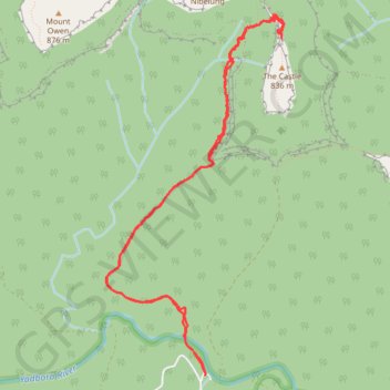
Long Gully - The Castle
Interactive trail map
Trail profile
- Distance: 8.1 mi
- Elevation gain: 3,976 ft
- Maximum elevation: 2,313 ft
- Elevation loss: 3,976 ft
- Minimum elevation: 249 ft
About this trail
Name: Long Gully - The Castle trail, distance, elevation, map, profile, GPS track
End: Yadboro, Shoalhaven City Council, New South Wales, 2539, Australia (-35.32090 150.19125)
Coordinates: -35.32090 150.18053 -35.28889 150.19984
Other hiking, mountain biking, running and outdoor activity trails
Click on a trail to view its statistics, map and profile.
Byangee Mountain and Pickering Point - Morton National Park
Distance: 11.2 mi • Elevation gain: 5,118 ft • Maximum elevation: 1,690 ft
Castle Walking Track and Castle to Monolith Valley
Distance: 9.6 mi • Elevation gain: 4,206 ft • Maximum elevation: 2,795 ft