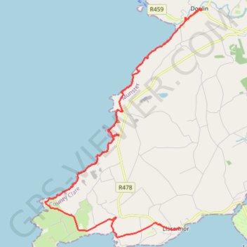
Cliffs of Moher - Stookeen Cliff
- Distance: 14.1 mi
- Elevation gain: 4,603 ft
- Maximum elevation: 518 ft
- Elevation loss: 4,649 ft
- Minimum elevation: 0 ft
Interactive trail map
Trail profile
- Distance: 14.1 mi
- Elevation gain: 4,603 ft
- Maximum elevation: 518 ft
- Elevation loss: 4,649 ft
- Minimum elevation: 0 ft
About this trail
Name: Cliffs of Moher - Stookeen Cliff trail, distance, elevation, map, profile, GPS track
Coordinates: 52.93538 -9.46812 53.01609 -9.37616