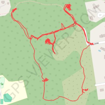
Trace of some of the trails in the Hicks Tract in Millington, NJ
- Distance: 3.1 mi
- Elevation gain: 184 ft
- Maximum elevation: 338 ft
- Elevation loss: 184 ft
- Minimum elevation: 249 ft
- Moving time: 1 h 50 m
- Moving speed: 1.7 mph
- Maximum speed: 3.0 mph
- Total time: 5 h 33 m
- Global speed: 0.6 mph
Interactive trail map
Trail profile
- Distance: 3.1 mi
- Elevation gain: 184 ft
- Maximum elevation: 338 ft
- Elevation loss: 184 ft
- Minimum elevation: 249 ft
- Moving time: 1 h 50 m
- Moving speed: 1.7 mph
- Maximum speed: 3.0 mph
- Total time: 5 h 33 m
- Global speed: 0.6 mph
About this trail
Name: Trace of some of the trails in the Hicks Tract in Millington, NJ trail, distance, elevation, map, profile, GPS track
Coordinates: 40.67260 -74.51553 40.67680 -74.51084
Topography: Morris County topographic map, elevation, terrain