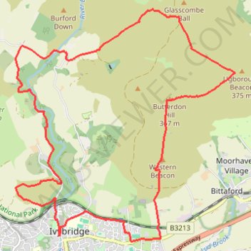
Erme Valley and Ugborough Moor
- Distance: 10.5 mi
- Elevation gain: 1,690 ft
- Maximum elevation: 1,224 ft
- Elevation loss: 1,693 ft
- Minimum elevation: 220 ft
- Moving time: 4 h 12 m
- Moving speed: 2.5 mph
- Maximum speed: 2.8 mph
- Total time: 4 h 12 m
- Global speed: 2.5 mph
Interactive trail map
Trail profile
- Distance: 10.5 mi
- Elevation gain: 1,690 ft
- Maximum elevation: 1,224 ft
- Elevation loss: 1,693 ft
- Minimum elevation: 220 ft
- Moving time: 4 h 12 m
- Moving speed: 2.5 mph
- Maximum speed: 2.8 mph
- Total time: 4 h 12 m
- Global speed: 2.5 mph
About this trail
Name: Erme Valley and Ugborough Moor trail, distance, elevation, map, profile, GPS track
Coordinates: 50.39017 -3.93093 50.42653 -3.87693