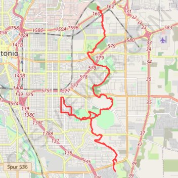
Tour from Jack White to SE Military w/ diversion to new Emory Oaks Trailhead
- Distance: 29.5 mi
- Elevation gain: 725 ft
- Maximum elevation: 732 ft
- Elevation loss: 725 ft
- Minimum elevation: 548 ft
- Moving time: 2 h 57 m
- Moving speed: 10.0 mph
- Maximum speed: 22.2 mph
- Total time: 3 h 40 m
- Global speed: 8.0 mph
Interactive trail map
Trail profile
- Distance: 29.5 mi
- Elevation gain: 725 ft
- Maximum elevation: 732 ft
- Elevation loss: 725 ft
- Minimum elevation: 548 ft
- Moving time: 2 h 57 m
- Moving speed: 10.0 mph
- Maximum speed: 22.2 mph
- Total time: 3 h 40 m
- Global speed: 8.0 mph
About this trail
Name: Tour from Jack White to SE Military w/ diversion to new Emory Oaks Trailhead trail, distance, elevation, map, profile, GPS track
Coordinates: 29.35231 -98.45043 29.45276 -98.41135
Topography: San Antonio topographic map, elevation, terrain