Culipapa Mount Walk
- Distance: 1.0 mi
- Elevation gain: 256 ft
- Maximum elevation: 1,227 ft
- Elevation loss: 272 ft
- Minimum elevation: 1,024 ft
- Moving time: 22 m 10 s
- Moving speed: 2.7 mph
- Maximum speed: 5.9 mph
- Total time: 27 m 48 s
- Global speed: 2.1 mph
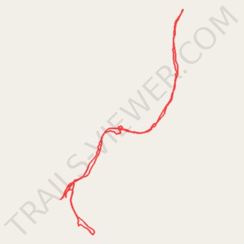
Interactive trail map
Trail profile
- Distance: 1.0 mi
- Elevation gain: 256 ft
- Maximum elevation: 1,227 ft
- Elevation loss: 272 ft
- Minimum elevation: 1,024 ft
- Moving time: 22 m 10 s
- Moving speed: 2.7 mph
- Maximum speed: 5.9 mph
- Total time: 27 m 48 s
- Global speed: 2.1 mph
About this trail
Name: Culipapa Mount Walk trail, distance, elevation, map, profile, GPS track
Start: Cemeco, Hinoba-an, Negros Occidental, Negros Island Region, Philippines (9.50063 122.58473)
End: Cemeco, Hinoba-an, Negros Occidental, Negros Island Region, Philippines (9.50059 122.58463)
Coordinates: 9.49988 122.58463 9.50443 122.58713