RE SK110280
- Distance: 0.3 mi
- Elevation gain: 3 ft
- Maximum elevation: 509 ft
- Elevation loss: 16 ft
- Minimum elevation: 489 ft
- Moving time: 3 m 59 s
- Moving speed: 4.5 mph
- Maximum speed: 17.4 mph
- Total time: 29 m 26 s
- Global speed: 0.6 mph
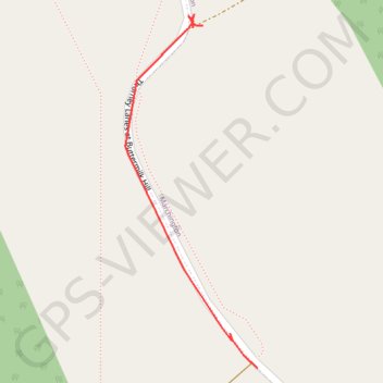
Interactive trail map
Trail profile
- Distance: 0.3 mi
- Elevation gain: 3 ft
- Maximum elevation: 509 ft
- Elevation loss: 16 ft
- Minimum elevation: 489 ft
- Moving time: 3 m 59 s
- Moving speed: 4.5 mph
- Maximum speed: 17.4 mph
- Total time: 29 m 26 s
- Global speed: 0.6 mph
About this trail
Name: RE SK110280 trail, distance, elevation, map, profile, GPS track
Coordinates: 52.84749 -1.84046 52.85069 -1.83849