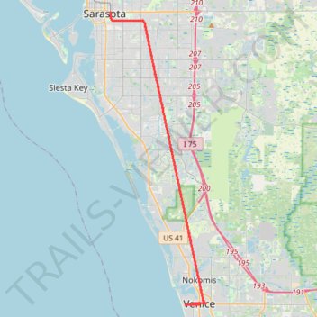
Legacy Trail, Sarasota to Venice Train Depot
- Distance: 40.2 mi
- Elevation gain: 253 ft
- Maximum elevation: 52 ft
- Elevation loss: 253 ft
- Minimum elevation: -3 ft
Interactive trail map
Trail profile
- Distance: 40.2 mi
- Elevation gain: 253 ft
- Maximum elevation: 52 ft
- Elevation loss: 253 ft
- Minimum elevation: -3 ft
About this trail
Name: Legacy Trail, Sarasota to Venice Train Depot trail, distance, elevation, map, profile, GPS track
Coordinates: 27.09842 -82.52568 27.33741 -82.43742
Topography: Venice topographic map, elevation, terrain