Make a donation
Gear up for your next adventure:
As an Amazon Associate, this site earns from qualifying purchases at no extra cost to you.
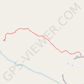
Butler Wash Ruins (Bears Ears National Monument)
Interactive trail map
Make a donation
Gear up for your next adventure:
As an Amazon Associate, this site earns from qualifying purchases at no extra cost to you.
Trail profile
- Distance: 0.5 mi
- Elevation gain: 102 ft
- Maximum elevation: 5,338 ft
- Elevation loss: 20 ft
- Minimum elevation: 5,236 ft
- Moving time: 14 m 40 s
- Moving speed: 1.8 mph
- Maximum speed: 1.9 mph
- Total time: 14 m 40 s
- Global speed: 1.8 mph
Make a donation
Gear up for your next adventure:
As an Amazon Associate, this site earns from qualifying purchases at no extra cost to you.
About this trail
Name: Butler Wash Ruins (Bears Ears National Monument) trail, distance, elevation, map, profile, GPS track
Start: Butler Wash Ruin Access Road, San Juan County, Utah, United States (37.52426 -109.63243)
End: Butler Wash Ruin Access Road, San Juan County, Utah, United States (37.52524 -109.63888)
Coordinates: 37.52426 -109.63888 37.52604 -109.63243
Topography: San Juan County topographic map, elevation, terrain
Make a donation
Gear up for your next adventure:
As an Amazon Associate, this site earns from qualifying purchases at no extra cost to you.