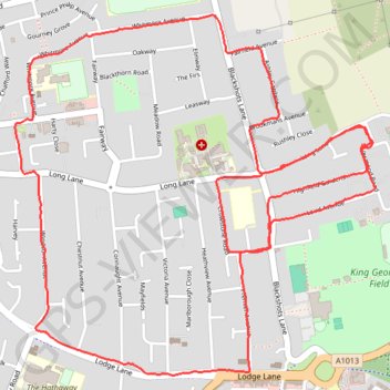
June/July: week 5, walk 2/2
- Distance: 4.5 mi
- Elevation gain: 66 ft
- Maximum elevation: 98 ft
- Elevation loss: 66 ft
- Minimum elevation: 69 ft
- Moving time: 1 h 4 m
- Moving speed: 4.2 mph
- Maximum speed: 6.3 mph
- Total time: 1 h 9 m
- Global speed: 3.9 mph
Interactive trail map
Trail profile
- Distance: 4.5 mi
- Elevation gain: 66 ft
- Maximum elevation: 98 ft
- Elevation loss: 66 ft
- Minimum elevation: 69 ft
- Moving time: 1 h 4 m
- Moving speed: 4.2 mph
- Maximum speed: 6.3 mph
- Total time: 1 h 9 m
- Global speed: 3.9 mph
About this trail
Name: June/July: week 5, walk 2/2 trail, distance, elevation, map, profile, GPS track
Coordinates: 51.48913 0.32628 51.50123 0.34572