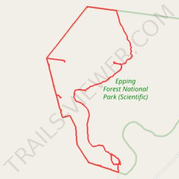
Epping Forest National Park
- Distance: 14.8 mi
- Elevation gain: 49 ft
- Maximum elevation: 768 ft
- Elevation loss: 49 ft
- Minimum elevation: 745 ft
- Moving time: 2 h 10 m
- Moving speed: 6.8 mph
- Maximum speed: 16.4 mph
- Total time: 3 h 13 m
- Global speed: 4.6 mph
Interactive trail map
Trail profile
About this trail
Name: Epping Forest National Park trail, distance, elevation, map, profile, GPS track
Start: Hairy-nosed Highway, Elgin, Isaac Regional, Queensland, Australia (-22.38251 146.70327)
End: Tim's Track, Elgin, Isaac Regional, Queensland, Australia (-22.38248 146.70357)
Coordinates: -22.38678 146.67518 -22.32718 146.70850