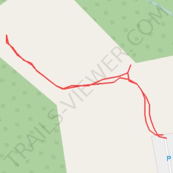
Walking trace of stage 1 of the new Zuccoli dog park
- Distance: 0.2 mi
- Elevation gain: 7 ft
- Maximum elevation: 52 ft
- Elevation loss: 7 ft
- Minimum elevation: 43 ft
- Moving time: 4 m 51 s
- Moving speed: 2.5 mph
- Maximum speed: 3.3 mph
- Total time: 4 m 51 s
- Global speed: 2.5 mph
Interactive trail map
Trail profile
- Distance: 0.2 mi
- Elevation gain: 7 ft
- Maximum elevation: 52 ft
- Elevation loss: 7 ft
- Minimum elevation: 43 ft
- Moving time: 4 m 51 s
- Moving speed: 2.5 mph
- Maximum speed: 3.3 mph
- Total time: 4 m 51 s
- Global speed: 2.5 mph
About this trail
Name: Walking trace of stage 1 of the new Zuccoli dog park trail, distance, elevation, map, profile, GPS track
Coordinates: -12.50544 131.00594 -12.50479 131.00697