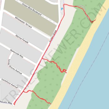
Rainbow Beach tracks, Lake Cathie
- Distance: 1.3 mi
- Elevation gain: 98 ft
- Maximum elevation: 56 ft
- Elevation loss: 69 ft
- Minimum elevation: 7 ft
- Moving time: 26 m 34 s
- Moving speed: 2.9 mph
- Maximum speed: 6.8 mph
- Total time: 26 m 34 s
- Global speed: 2.9 mph
Interactive trail map
Trail profile
- Distance: 1.3 mi
- Elevation gain: 98 ft
- Maximum elevation: 56 ft
- Elevation loss: 69 ft
- Minimum elevation: 7 ft
- Moving time: 26 m 34 s
- Moving speed: 2.9 mph
- Maximum speed: 6.8 mph
- Total time: 26 m 34 s
- Global speed: 2.9 mph
About this trail
Name: Rainbow Beach tracks, Lake Cathie trail, distance, elevation, map, profile, GPS track
Start: Surfers Drive, Lake Cathie, New South Wales, 2445, Australia (-31.56684 152.84813)
Coordinates: -31.57083 152.84363 -31.56610 152.84813