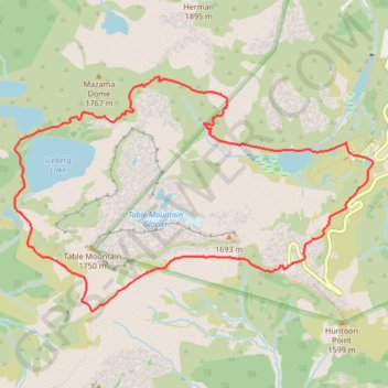
Chain Lakes Loop
Interactive trail map
Trail profile
- Distance: 5.7 mi
- Elevation gain: 1,972 ft
- Maximum elevation: 5,472 ft
- Elevation loss: 1,972 ft
- Minimum elevation: 4,259 ft
About this trail
Name: Chain Lakes Loop trail, distance, elevation, map, profile, GPS track
Coordinates: 48.84339 -121.72229 48.86006 -121.68356
Topography: Whatcom County topographic map, elevation, terrain
Other hiking, mountain biking, running and outdoor activity trails
Click on a trail to view its statistics, map and profile.
Chain Lakes and Wild Goose Trails Loop
United States > Washington > Whatcom County
From the Heather Meadows area, this loop first drops toward Bagley Dam and the open basin of Bagley Lakes, where Bagley Creek, subalpine meadows, heather, and the slopes of Table Mountain and Mount Herman shape the approach to the Chain Lakes Trail. The setting is one of the signature hiking areas of the upper…
Distance: 7.7 mi • Elevation gain: 2,044 ft • Maximum elevation: 5,466 ft
Wild Goose Trail in Mount Baker-Snoqualmie National Forest
United States > Washington > Whatcom County
The Wild Goose Trail offers hikers a diverse experience, with two sections catering to different difficulty levels. From its starting point at the Bagley Lakes parking area, the trail weaves through Heather Meadows, providing stunning views of Mount Baker, Mount Shuksan, and the surrounding peaks. Along the…
Distance: 1.7 mi • Elevation gain: 915 ft • Maximum elevation: 5,171 ft
Bagley Lakes Trail in Mount Baker-Snoqualmie National Forest
United States > Washington > Whatcom County
The Bagley Lakes Trail offers a peaceful yet visually rewarding hike within the Mount Baker-Snoqualmie National Forest. As you walk, you'll be surrounded by lush alpine meadows, sparkling lakes, and stunning mountain backdrops, including views of Mount Herman, Mount Baker and Mount Shuksan. Along the route,…
Distance: 1.4 mi • Elevation gain: 246 ft • Maximum elevation: 4,298 ft
Chain Lakes Trail in Mount Baker-Snoqualmie National Forest
United States > Washington > Whatcom County
The Chain Lakes Trail in Mount Baker-Snoqualmie National Forest offers a remarkable alpine experience with stunning views of towering peaks, crystal-clear lakes, and wildflower-filled meadows. Hikers will be treated to panoramic vistas of Mount Baker and Mount Shuksan while passing by serene lakes such as…
Distance: 5.2 mi • Elevation gain: 1,293 ft • Maximum elevation: 5,466 ft
Northern part of the Pacific Crest Trail (PCT)
United States > Oregon > Klamath County
Hike on the Pacific Crest National Scenic Trail from Crater Lake to Canada Border through Oregon and Washington along the Sierra Nevada and Cascade mountain ranges. #Hiking #Mountain #SierraNevada #Cascade #Nature #Forest #Park #PCT
Distance: 744.6 mi • Elevation gain: 145,367 ft • Maximum elevation: 7,569 ft