Mount Kimat Patil-ao
- Distance: 9.9 mi
- Elevation gain: 2,802 ft
- Maximum elevation: 5,098 ft
- Elevation loss: 4,961 ft
- Minimum elevation: 2,356 ft
- Moving time: 6 h 6 m
- Moving speed: 1.6 mph
- Maximum speed: 10.1 mph
- Total time: 8 h 38 m
- Global speed: 1.2 mph
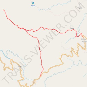
Interactive trail map
Trail profile
- Distance: 9.9 mi
- Elevation gain: 2,802 ft
- Maximum elevation: 5,098 ft
- Elevation loss: 4,961 ft
- Minimum elevation: 2,356 ft
- Moving time: 6 h 6 m
- Moving speed: 1.6 mph
- Maximum speed: 10.1 mph
- Total time: 8 h 38 m
- Global speed: 1.2 mph
About this trail
Name: Mount Kimat Patil-ao trail, distance, elevation, map, profile, GPS track
Start: Tagudin-Cervantes Road, Zigzag, Malaya, Ilocos Sur, Ilocos Region, Philippines (16.96045 120.65789)
Coordinates: 16.96045 120.63493 17.00096 120.68556