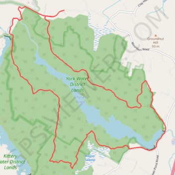
York Water District (YWD) loop
- Distance: 9.6 mi
- Elevation gain: 486 ft
- Maximum elevation: 325 ft
- Elevation loss: 512 ft
- Minimum elevation: 157 ft
Interactive trail map
Trail profile
- Distance: 9.6 mi
- Elevation gain: 486 ft
- Maximum elevation: 325 ft
- Elevation loss: 512 ft
- Minimum elevation: 157 ft
About this trail
Name: York Water District (YWD) loop trail, distance, elevation, map, profile, GPS track
Coordinates: 43.18439 -70.69096 43.21590 -70.64924
Topography: York County topographic map, elevation, terrain