Lake Weyba
- Distance: 1.0 mi
- Elevation gain: 39 ft
- Maximum elevation: 26 ft
- Elevation loss: 33 ft
- Minimum elevation: 3 ft
- Moving time: 31 m 51 s
- Moving speed: 2.0 mph
- Maximum speed: 6.8 mph
- Total time: 37 m 39 s
- Global speed: 1.7 mph
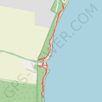
Interactive trail map
Trail profile
- Distance: 1.0 mi
- Elevation gain: 39 ft
- Maximum elevation: 26 ft
- Elevation loss: 33 ft
- Minimum elevation: 3 ft
- Moving time: 31 m 51 s
- Moving speed: 2.0 mph
- Maximum speed: 6.8 mph
- Total time: 37 m 39 s
- Global speed: 1.7 mph
About this trail
Name: Lake Weyba trail, distance, elevation, map, profile, GPS track
Coordinates: -26.45083 153.05379 -26.44516 153.05553
Other hiking, mountain biking, running and outdoor activity trails
Click on a trail to view its statistics, map and profile.