McGraw park
- Distance: 0.5 mi
- Elevation gain: 13 ft
- Maximum elevation: 840 ft
- Elevation loss: 16 ft
- Minimum elevation: 830 ft
- Moving time: 11 m 1 s
- Moving speed: 2.9 mph
- Maximum speed: 3.6 mph
- Total time: 11 m 1 s
- Global speed: 2.9 mph
Interactive trail map
Trail profile
- Distance: 0.5 mi
- Elevation gain: 13 ft
- Maximum elevation: 840 ft
- Elevation loss: 16 ft
- Minimum elevation: 830 ft
- Moving time: 11 m 1 s
- Moving speed: 2.9 mph
- Maximum speed: 3.6 mph
- Total time: 11 m 1 s
- Global speed: 2.9 mph
About this trail
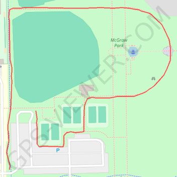
Name: McGraw park trail, distance, elevation, map, profile, GPS track
End: Cornelius Drive, Bloomington, McLean County, Illinois, 61702, United States (40.49351 -88.92148)
Coordinates: 40.49273 -88.92199 40.49488 -88.91913
Topography: Bloomington topographic map, elevation, terrain