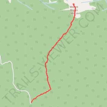
Mount Bryan trail
- Distance: 4.2 mi
- Elevation gain: 3,084 ft
- Maximum elevation: 8,133 ft
- Elevation loss: 3,087 ft
- Minimum elevation: 5,079 ft
- Moving time: 2 h 26 m
- Moving speed: 1.7 mph
- Maximum speed: 5.1 mph
- Total time: 5 h 23 m
- Global speed: 0.8 mph
Interactive trail map
Trail profile
- Distance: 4.2 mi
- Elevation gain: 3,084 ft
- Maximum elevation: 8,133 ft
- Elevation loss: 3,087 ft
- Minimum elevation: 5,079 ft
- Moving time: 2 h 26 m
- Moving speed: 1.7 mph
- Maximum speed: 5.1 mph
- Total time: 5 h 23 m
- Global speed: 0.8 mph
About this trail
Name: Mount Bryan trail trail, distance, elevation, map, profile, GPS track
Coordinates: 50.48155 -115.84727 50.50133 -115.83337