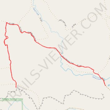
Velvet Ridge
- Distance: 5.1 mi
- Elevation gain: 502 ft
- Maximum elevation: 7,336 ft
- Elevation loss: 502 ft
- Minimum elevation: 7,028 ft
- Moving time: 1 h 26 m
- Moving speed: 3.5 mph
- Maximum speed: 4.7 mph
- Total time: 1 h 26 m
- Global speed: 3.5 mph
Interactive trail map
Trail profile
- Distance: 5.1 mi
- Elevation gain: 502 ft
- Maximum elevation: 7,336 ft
- Elevation loss: 502 ft
- Minimum elevation: 7,028 ft
- Moving time: 1 h 26 m
- Moving speed: 3.5 mph
- Maximum speed: 4.7 mph
- Total time: 1 h 26 m
- Global speed: 3.5 mph
About this trail
Name: Velvet Ridge trail, distance, elevation, map, profile, GPS track
Start: Great Western Trail, Wayne County, Utah, United States (38.31658 -111.44083)
End: Great Western Trail, Wayne County, Utah, United States (38.31636 -111.44064)
Coordinates: 38.31601 -111.46388 38.32769 -111.44058
Topography: Wayne County topographic map, elevation, terrain