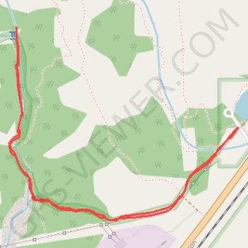
Import a GPX file

Grotto Canyon Trail

Bow Valley Provincial Park. #Hiking #BowValley

  • Distance: 2.5 mi
  • Elevation gain: 627 ft
  • Maximum elevation: 4,777 ft
  • Elevation loss: 627 ft
  • Minimum elevation: 4,252 ft

Interactive trail map

Trail profile

  • Distance: 2.5 mi
  • Elevation gain: 627 ft
  • Maximum elevation: 4,777 ft
  • Elevation loss: 627 ft
  • Minimum elevation: 4,252 ft

About this trail

Gear up for your next adventure:

🪶LED Camping Lantern - Bright lantern for camp lighting
Solar GPS Watches - Advanced multisport watches with built-in topographic maps
🪶Thermal Camp Blanket - Extra warmth for cold nights
🦶Carbon Trekking Poles - Reduce knee impact on steep descents with ultra-light poles
🎒Hydration Pack - Hands‑free water reservoir for long hikes

As an Amazon Associate, this site earns from qualifying purchases at no extra cost to you.