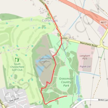
Grassmoor Country Park
- Distance: 1.1 mi
- Elevation gain: 66 ft
- Maximum elevation: 420 ft
- Elevation loss: 112 ft
- Minimum elevation: 315 ft
- Moving time: 22 m 51 s
- Moving speed: 2.8 mph
- Maximum speed: 24.2 mph
- Total time: 24 m
- Global speed: 2.7 mph
Interactive trail map
Trail profile
- Distance: 1.1 mi
- Elevation gain: 66 ft
- Maximum elevation: 420 ft
- Elevation loss: 112 ft
- Minimum elevation: 315 ft
- Moving time: 22 m 51 s
- Moving speed: 2.8 mph
- Maximum speed: 24.2 mph
- Total time: 24 m
- Global speed: 2.7 mph
About this trail
Name: Grassmoor Country Park trail, distance, elevation, map, profile, GPS track
Coordinates: 53.20043 -1.39023 53.21096 -1.38566