Alder Creek Trail after trail restoration
- Distance: 5.0 mi
- Elevation gain: 732 ft
- Maximum elevation: 4,436 ft
- Elevation loss: 1,549 ft
- Minimum elevation: 3,455 ft
- Moving time: 3 h 7 m
- Moving speed: 1.6 mph
- Maximum speed: 2.7 mph
- Total time: 3 h 47 m
- Global speed: 1.3 mph
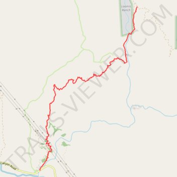
Interactive trail map
Trail profile
- Distance: 5.0 mi
- Elevation gain: 732 ft
- Maximum elevation: 4,436 ft
- Elevation loss: 1,549 ft
- Minimum elevation: 3,455 ft
- Moving time: 3 h 7 m
- Moving speed: 1.6 mph
- Maximum speed: 2.7 mph
- Total time: 3 h 47 m
- Global speed: 1.3 mph
About this trail
Name: Alder Creek Trail after trail restoration trail, distance, elevation, map, profile, GPS track
Start: Loomis Ranch Road, Los Angeles County, California, United States (34.34633 -118.04625)
Coordinates: 34.30894 -118.07318 34.34633 -118.04625
Topography: Los Angeles County topographic map, elevation, terrain