Sugarloaf Mountain
Interactive trail map
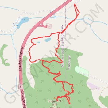
Trail profile
- Distance: 5.4 mi
- Elevation gain: 1,385 ft
- Maximum elevation: 3,688 ft
- Elevation loss: 1,385 ft
- Minimum elevation: 2,539 ft
About this trail
Name: Sugarloaf Mountain trail, distance, elevation, map, profile, GPS track
Coordinates: 50.63898 -120.48386 50.65762 -120.46907
Other hiking, mountain biking, running and outdoor activity trails
Click on a trail to view its statistics, map and profile.
Cache Creek - Kamloops
Canada > British Columbia > Thompson-Nicola Regional District > Cache Creek
Distance: 54.0 mi • Elevation gain: 3,655 ft • Maximum elevation: 2,415 ft