Import a GPX file

Roche Bonhomme

Jasper National Park. #Hiking #Jasper

  • Distance: 6.5 mi
  • Elevation gain: 4,416 ft
  • Maximum elevation: 8,127 ft
  • Elevation loss: 4,419 ft
  • Minimum elevation: 3,770 ft

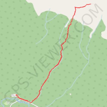
Interactive trail map

Trail profile

  • Distance: 6.5 mi
  • Elevation gain: 4,416 ft
  • Maximum elevation: 8,127 ft
  • Elevation loss: 4,419 ft
  • Minimum elevation: 3,770 ft

About this trail

Name: Roche Bonhomme trail, distance, elevation, map, profile, GPS track

Start: Municipality of Jasper, Alberta, Canada (52.92104 -117.99806)

End: Maligne Canyon Wilderness Kitchen, Maligne Lake Road, Municipality of Jasper, Alberta, T0E 1E0, Canada (52.92046 -117.99812)

Coordinates: 52.91878 -117.99853 52.94690 -117.96314

Gear up for your next adventure:

❄️Traction Cleats - Prevent slips on icy trails during winter hikes
🖼️Topo Map Wall Art - Decorative topographic prints of famous peaks and regions
🧢Sun Protection Hats - Wide-brimmed and UPF-rated hats for high-altitude sun safety
🔪Outdoor Multitools - Essential survival tools for gear repair and field use
🧭Hiking Compass - Precision compass for reliable navigation in the wilderness

As an Amazon Associate, this site earns from qualifying purchases at no extra cost to you.