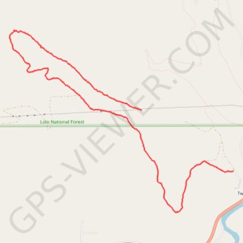
Twin Creek loop trail
- Distance: 4.9 mi
- Elevation gain: 843 ft
- Maximum elevation: 4,544 ft
- Elevation loss: 1,220 ft
- Minimum elevation: 3,491 ft
- Moving time: 1 h 39 m
- Moving speed: 3.0 mph
- Maximum speed: 6.6 mph
- Total time: 1 h 52 m
- Global speed: 2.6 mph
Interactive trail map
Trail profile
- Distance: 4.9 mi
- Elevation gain: 843 ft
- Maximum elevation: 4,544 ft
- Elevation loss: 1,220 ft
- Minimum elevation: 3,491 ft
- Moving time: 1 h 39 m
- Moving speed: 3.0 mph
- Maximum speed: 6.6 mph
- Total time: 1 h 52 m
- Global speed: 2.6 mph
About this trail
Name: Twin Creek loop trail trail, distance, elevation, map, profile, GPS track
Start: West Twin Creek Road, Twin Creeks, Missoula County, Montana, United States (46.92307 -113.73389)
End: West Twin Creek Road, Twin Creeks, Missoula County, Montana, United States (46.91544 -113.71705)
Coordinates: 46.91029 -113.75814 46.93300 -113.71705
Topography: Missoula County topographic map, elevation, terrain