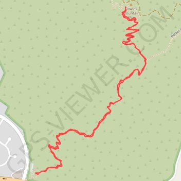
Import a GPX file

Cowles Mountain

Mission Trails Regional Park. #Hiking #Mountain #Forest #Nature

  • Distance: 2.6 mi
  • Elevation gain: 899 ft
  • Maximum elevation: 1,549 ft
  • Elevation loss: 896 ft
  • Minimum elevation: 663 ft

Interactive trail map

Trail profile

  • Distance: 2.6 mi
  • Elevation gain: 899 ft
  • Maximum elevation: 1,549 ft
  • Elevation loss: 896 ft
  • Minimum elevation: 663 ft

About this trail

Gear up for your next adventure:

🏫Relief Map Kits - Hands-on tools for teaching landforms and elevation
🚁Photography Drones - Capture stunning aerial views of landforms and topography
🥾Women's Hiking Boots - Top-rated trail boots with ankle support and superior grip
🧭Hiking Compass - Precision compass for reliable navigation in the wilderness
🥘Titanium Cookware - Durable, featherlight pots and pans for backpacking

As an Amazon Associate, this site earns from qualifying purchases at no extra cost to you.