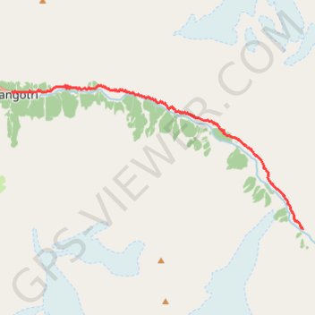
Gangotri - Bhojwasa
- Distance: 10.1 mi
- Elevation gain: 4,551 ft
- Maximum elevation: 12,497 ft
- Elevation loss: 2,165 ft
- Minimum elevation: 10,003 ft
Interactive trail map
Trail profile
- Distance: 10.1 mi
- Elevation gain: 4,551 ft
- Maximum elevation: 12,497 ft
- Elevation loss: 2,165 ft
- Minimum elevation: 10,003 ft
About this trail
Name: Gangotri - Bhojwasa trail, distance, elevation, map, profile, GPS track
Start: Gangotri, Bhatwari, Uttarkashi, Uttarakhand, India (30.99499 78.93899)
End: Kalindi Pass, Bhatwari, Uttarkashi, Uttarakhand, India (30.94969 79.05135)
Coordinates: 30.94969 78.93899 30.99726 79.05143