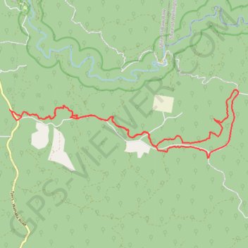
Bruntons Eaglehawk
- Distance: 14.6 mi
- Elevation gain: 1,155 ft
- Maximum elevation: 1,355 ft
- Elevation loss: 1,155 ft
- Minimum elevation: 1,165 ft
- Moving time: 1 h 10 m
- Moving speed: 12.5 mph
- Maximum speed: 40.9 mph
- Total time: 1 h 27 m
- Global speed: 10.1 mph
Interactive trail map
Trail profile
- Distance: 14.6 mi
- Elevation gain: 1,155 ft
- Maximum elevation: 1,355 ft
- Elevation loss: 1,155 ft
- Minimum elevation: 1,165 ft
- Moving time: 1 h 10 m
- Moving speed: 12.5 mph
- Maximum speed: 40.9 mph
- Total time: 1 h 27 m
- Global speed: 10.1 mph
About this trail
Name: Bruntons Eaglehawk trail, distance, elevation, map, profile, GPS track
Coordinates: -38.02624 146.41795 -38.00711 146.49931
Other hiking, mountain biking, running and outdoor activity trails
Click on a trail to view its statistics, map and profile.
Traralgon - Walhalla - Woods Point
Australia > Victoria > Traralgon
#Bike
Distance: 77.4 mi • Elevation gain: 13,970 ft • Maximum elevation: 3,822 ft