Walk through the park and along marshes
- Distance: 1.3 mi
- Elevation gain: 13 ft
- Maximum elevation: 7 ft
- Elevation loss: 13 ft
- Minimum elevation: 0 ft
Interactive trail map
Trail profile
- Distance: 1.3 mi
- Elevation gain: 13 ft
- Maximum elevation: 7 ft
- Elevation loss: 13 ft
- Minimum elevation: 0 ft
About this trail
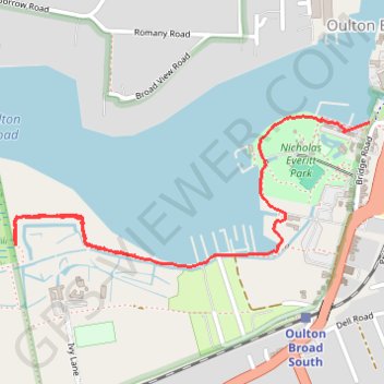
Name: Walk through the park and along marshes trail, distance, elevation, map, profile, GPS track
Coordinates: 52.47080 1.69592 52.47446 1.71004
Other hiking, mountain biking, running and outdoor activity trails
Click on a trail to view its statistics, map and profile.
Gull Wing Lowestoft loop
United Kingdom > England > Suffolk > East Suffolk > Lowestoft > Oulton Broad
Distance: 5.3 mi • Elevation gain: 121 ft • Maximum elevation: 36 ft