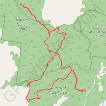
Butterleaf National Park and State Forest
- Distance: 17.9 mi
- Elevation gain: 2,359 ft
- Maximum elevation: 4,295 ft
- Elevation loss: 2,369 ft
- Minimum elevation: 3,369 ft
- Moving time: 2 h 50 m
- Moving speed: 6.3 mph
- Maximum speed: 11.2 mph
- Total time: 3 h 8 m
- Global speed: 5.7 mph
Interactive trail map
Trail profile
- Distance: 17.9 mi
- Elevation gain: 2,359 ft
- Maximum elevation: 4,295 ft
- Elevation loss: 2,369 ft
- Minimum elevation: 3,369 ft
- Moving time: 2 h 50 m
- Moving speed: 6.3 mph
- Maximum speed: 11.2 mph
- Total time: 3 h 8 m
- Global speed: 5.7 mph
About this trail
Name: Butterleaf National Park and State Forest trail, distance, elevation, map, profile, GPS track
Coordinates: -29.57070 152.01687 -29.50969 152.06415