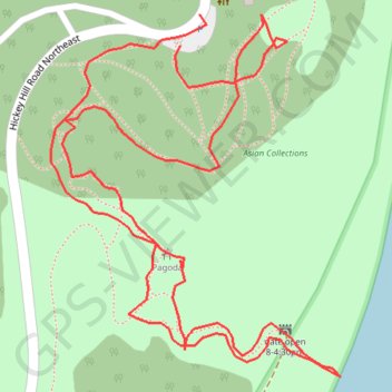
United States National Arboretum
- Distance: 0.6 mi
- Elevation gain: 148 ft
- Maximum elevation: 128 ft
- Elevation loss: 148 ft
- Minimum elevation: 7 ft
- Moving time: 17 m 46 s
- Moving speed: 2.1 mph
- Maximum speed: 3.8 mph
- Total time: 20 m 51 s
- Global speed: 1.8 mph
Interactive trail map
Trail profile
- Distance: 0.6 mi
- Elevation gain: 148 ft
- Maximum elevation: 128 ft
- Elevation loss: 148 ft
- Minimum elevation: 7 ft
- Moving time: 17 m 46 s
- Moving speed: 2.1 mph
- Maximum speed: 3.8 mph
- Total time: 20 m 51 s
- Global speed: 1.8 mph
About this trail
Name: United States National Arboretum trail, distance, elevation, map, profile, GPS track
Coordinates: 38.91166 -76.95642 38.91340 -76.95463
Topography: Washington topographic map, elevation, terrain