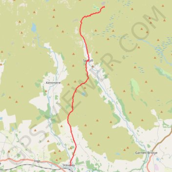
Staverly to Mosedale Cottage hike
- Distance: 8.8 mi
- Elevation gain: 1,952 ft
- Maximum elevation: 1,673 ft
- Elevation loss: 817 ft
- Minimum elevation: 325 ft
- Moving time: 3 h 49 m
- Moving speed: 2.3 mph
- Maximum speed: 4.0 mph
- Total time: 4 h 36 m
- Global speed: 1.9 mph
Interactive trail map
Trail profile
- Distance: 8.8 mi
- Elevation gain: 1,952 ft
- Maximum elevation: 1,673 ft
- Elevation loss: 817 ft
- Minimum elevation: 325 ft
- Moving time: 3 h 49 m
- Moving speed: 2.3 mph
- Maximum speed: 4.0 mph
- Total time: 4 h 36 m
- Global speed: 1.9 mph
About this trail
Name: Staverly to Mosedale Cottage hike trail, distance, elevation, map, profile, GPS track
Coordinates: 54.37800 -2.82052 54.47839 -2.78089
Other hiking, mountain biking, running and outdoor activity trails
Click on a trail to view its statistics, map and profile.
Mosedale Cottage to Lowther Castle hike
United Kingdom > England > Westmorland and Furness
Distance: 11.6 mi • Elevation gain: 807 ft • Maximum elevation: 1,493 ft