Walk to Pheiginn Bothy then traverse across snow to other track
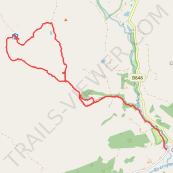
- Distance: 6.7 mi
- Elevation gain: 971 ft
- Maximum elevation: 1,903 ft
- Elevation loss: 1,706 ft
- Minimum elevation: 361 ft
- Moving time: 2 h 16 m
- Moving speed: 2.9 mph
- Maximum speed: 7.9 mph
- Total time: 2 h 34 m
- Global speed: 2.6 mph
Interactive trail map
Trail profile
- Distance: 6.7 mi
- Elevation gain: 971 ft
- Maximum elevation: 1,903 ft
- Elevation loss: 1,706 ft
- Minimum elevation: 361 ft
- Moving time: 2 h 16 m
- Moving speed: 2.9 mph
- Maximum speed: 7.9 mph
- Total time: 2 h 34 m
- Global speed: 2.6 mph
About this trail
Name: Walk to Pheiginn Bothy then traverse across snow to other track trail, distance, elevation, map, profile, GPS track
Start: B846, Coshieville, Perth and Kinross, Scotland, PH15 2LG, United Kingdom (56.62900 -4.03222)
Coordinates: 56.61780 -4.05964 56.64395 -3.99999