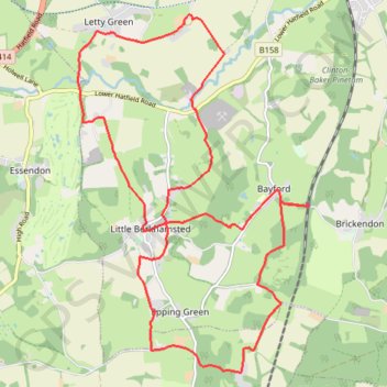
Hertfordshire Chain Walk 3&4
- Distance: 12.1 mi
- Elevation gain: 735 ft
- Maximum elevation: 423 ft
- Elevation loss: 735 ft
- Minimum elevation: 157 ft
- Moving time: 3 h 53 m
- Moving speed: 3.1 mph
- Maximum speed: 3.3 mph
- Total time: 3 h 53 m
- Global speed: 3.1 mph
Interactive trail map
Trail profile
- Distance: 12.1 mi
- Elevation gain: 735 ft
- Maximum elevation: 423 ft
- Elevation loss: 735 ft
- Minimum elevation: 157 ft
- Moving time: 3 h 53 m
- Moving speed: 3.1 mph
- Maximum speed: 3.3 mph
- Total time: 3 h 53 m
- Global speed: 3.1 mph
About this trail
Name: Hertfordshire Chain Walk 3&4 trail, distance, elevation, map, profile, GPS track
Coordinates: 51.73612 -0.14352 51.78231 -0.09552
Other hiking, mountain biking, running and outdoor activity trails
Click on a trail to view its statistics, map and profile.
Circuit from Broxbourne Woods
United Kingdom > England > Hertfordshire > East Hertfordshire > Brickendon
Broxbourne woods
Distance: 8.5 mi • Elevation gain: 554 ft • Maximum elevation: 384 ft