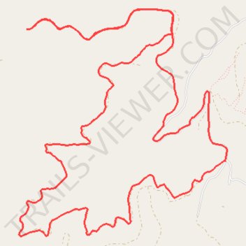
Dry creek
- Distance: 9.0 mi
- Elevation gain: 1,988 ft
- Maximum elevation: 4,685 ft
- Elevation loss: 1,988 ft
- Minimum elevation: 3,707 ft
- Moving time: 1 h 20 m
- Moving speed: 6.7 mph
- Maximum speed: 22.1 mph
- Total time: 1 h 35 m
- Global speed: 5.6 mph
Interactive trail map
Trail profile
- Distance: 9.0 mi
- Elevation gain: 1,988 ft
- Maximum elevation: 4,685 ft
- Elevation loss: 1,988 ft
- Minimum elevation: 3,707 ft
- Moving time: 1 h 20 m
- Moving speed: 6.7 mph
- Maximum speed: 22.1 mph
- Total time: 1 h 35 m
- Global speed: 5.6 mph
About this trail
Name: Dry creek trail, distance, elevation, map, profile, GPS track
Start: Dry Gulch Road, Missoula County, Montana, United States (46.91233 -114.22451)
End: Dry Gulch Road, Missoula County, Montana, United States (46.91231 -114.22459)
Coordinates: 46.90205 -114.24391 46.92281 -114.21612
Topography: Missoula County topographic map, elevation, terrain