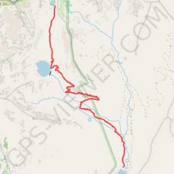
Silver Lake Trail and Silver Glance Lake Trail
- Distance: 3.1 mi
- Elevation gain: 2,369 ft
- Maximum elevation: 9,898 ft
- Elevation loss: 26 ft
- Minimum elevation: 7,549 ft
- Moving time: 2 h 25 m
- Moving speed: 1.3 mph
- Maximum speed: 3.1 mph
- Total time: 3 h 48 m
- Global speed: 0.8 mph
Interactive trail map
Trail profile
- Distance: 3.1 mi
- Elevation gain: 2,369 ft
- Maximum elevation: 9,898 ft
- Elevation loss: 26 ft
- Minimum elevation: 7,549 ft
- Moving time: 2 h 25 m
- Moving speed: 1.3 mph
- Maximum speed: 3.1 mph
- Total time: 3 h 48 m
- Global speed: 0.8 mph
About this trail
Name: Silver Lake Trail and Silver Glance Lake Trail trail, distance, elevation, map, profile, GPS track
End: Silver Glance Lake Trail, Utah County, Utah, United States (40.53115 -111.67015)
Coordinates: 40.50678 -111.67135 40.53115 -111.65633
Topography: Utah County topographic map, elevation, terrain