River Teme
- Distance: 2.1 mi
- Elevation gain: 69 ft
- Maximum elevation: 125 ft
- Elevation loss: 69 ft
- Minimum elevation: 59 ft
- Moving time: 49 m 39 s
- Moving speed: 2.6 mph
- Maximum speed: 6.0 mph
- Total time: 53 m 14 s
- Global speed: 2.4 mph
Interactive trail map
Trail profile
- Distance: 2.1 mi
- Elevation gain: 69 ft
- Maximum elevation: 125 ft
- Elevation loss: 69 ft
- Minimum elevation: 59 ft
- Moving time: 49 m 39 s
- Moving speed: 2.6 mph
- Maximum speed: 6.0 mph
- Total time: 53 m 14 s
- Global speed: 2.4 mph
About this trail
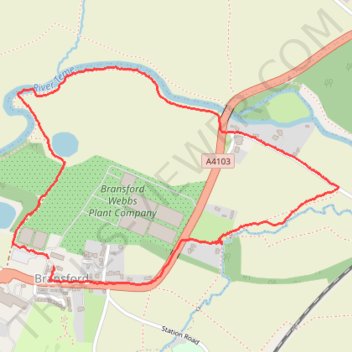
Name: River Teme trail, distance, elevation, map, profile, GPS track
Coordinates: 52.17152 -2.29916 52.17836 -2.28249