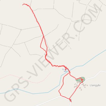
Ffynnon Gybi walk
- Distance: 1.5 mi
- Elevation gain: 410 ft
- Maximum elevation: 722 ft
- Elevation loss: 410 ft
- Minimum elevation: 325 ft
- Moving time: 58 m 22 s
- Moving speed: 1.6 mph
- Maximum speed: 3.3 mph
- Total time: 1 h 52 m
- Global speed: 0.8 mph
Interactive trail map
Trail profile
- Distance: 1.5 mi
- Elevation gain: 410 ft
- Maximum elevation: 722 ft
- Elevation loss: 410 ft
- Minimum elevation: 325 ft
- Moving time: 58 m 22 s
- Moving speed: 1.6 mph
- Maximum speed: 3.3 mph
- Total time: 1 h 52 m
- Global speed: 0.8 mph
About this trail
Name: Ffynnon Gybi walk trail, distance, elevation, map, profile, GPS track
Start: B4354, Llanystumdwy, Llanarmon, Gwynedd, Wales, LL53 6PR, United Kingdom (52.94373 -4.34269)
End: Llanystumdwy, Llangybi, Gwynedd, Wales, LL53 6DQ, United Kingdom (52.94371 -4.34266)
Coordinates: 52.94326 -4.34730 52.95033 -4.34003