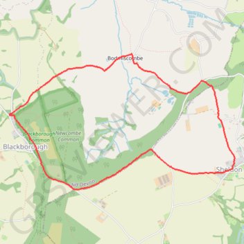
Blackborough - Sheldon - Bodmiscombe
Interactive trail map
Trail profile
- Distance: 4.5 mi
- Elevation gain: 554 ft
- Maximum elevation: 906 ft
- Elevation loss: 554 ft
- Minimum elevation: 486 ft
About this trail
Name: Blackborough - Sheldon - Bodmiscombe trail, distance, elevation, map, profile, GPS track
End: Kentisbeare, Blackborough, Mid Devon, Devon, England, EX15 2HJ, United Kingdom (50.87551 -3.28860)
Coordinates: 50.86785 -3.28866 50.88174 -3.25191