
GoMap__2026_10_24__12_54_04
- Distance: 7.6 mi
- Elevation gain: 49 ft
- Maximum elevation: 692 ft
- Elevation loss: 95 ft
- Minimum elevation: 643 ft
Interactive trail map
Trail profile
- Distance: 7.6 mi
- Elevation gain: 49 ft
- Maximum elevation: 692 ft
- Elevation loss: 95 ft
- Minimum elevation: 643 ft
About this trail
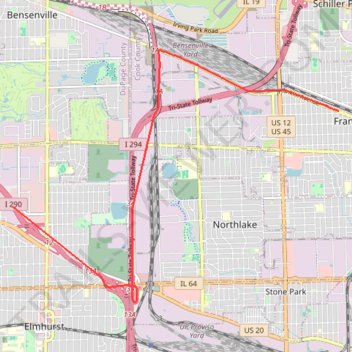
Name: GoMap__2026_10_24__12_54_04 trail, distance, elevation, map, profile, GPS track
Coordinates: 41.90361 -87.94748 41.94762 -87.87107
Topography: DuPage County topographic map, elevation, terrain