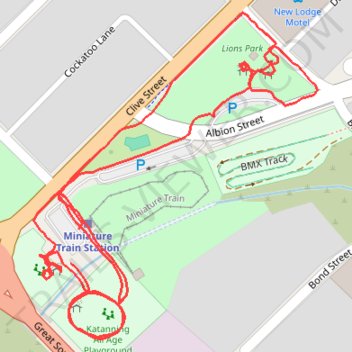
Park footpaths, Katanning All Ages Park, Western Australia
- Distance: 1.3 mi
- Elevation gain: 16 ft
- Maximum elevation: 1,017 ft
- Elevation loss: 16 ft
- Minimum elevation: 1,001 ft
- Moving time: 26 m 24 s
- Moving speed: 2.9 mph
- Maximum speed: 4.0 mph
- Total time: 26 m 24 s
- Global speed: 2.9 mph
Interactive trail map
Trail profile
- Distance: 1.3 mi
- Elevation gain: 16 ft
- Maximum elevation: 1,017 ft
- Elevation loss: 16 ft
- Minimum elevation: 1,001 ft
- Moving time: 26 m 24 s
- Moving speed: 2.9 mph
- Maximum speed: 4.0 mph
- Total time: 26 m 24 s
- Global speed: 2.9 mph
About this trail
Name: Park footpaths, Katanning All Ages Park, Western Australia trail, distance, elevation, map, profile, GPS track
Coordinates: -33.69746 117.54822 -33.69423 117.55160